

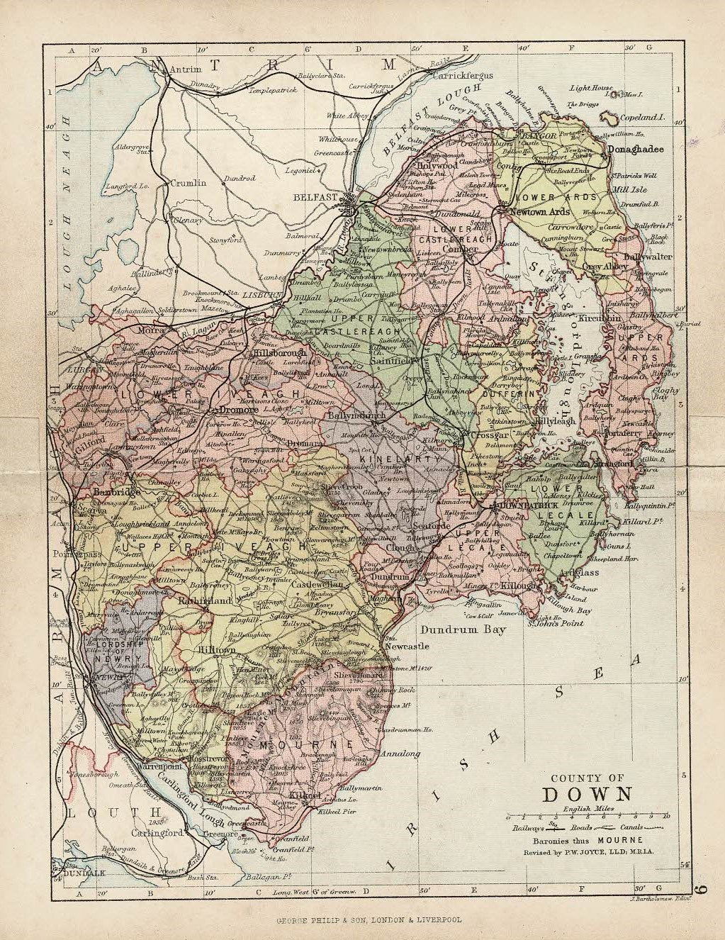
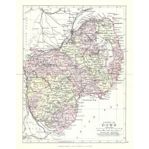
County Down, Ireland. An original antique map of County Down published c.1882 by George Philip & Sons in ‘Counties of Ireland.’ Includes the Baronies of Ards Lower, Ards Upper, Castlereagh Lower, Castlereagh Upper, Dufferin, Iveagh Lower, Lower Half, Iveagh Lower, Upper Half, Iveagh Upper, Lower Half. Constructed by John Bartholomew, F.R.G.S. Revised by P.W. Joyce, L.L.D., M.R.I.A. Paper size 7″ x 9″. Usual centrefold. Very good condition save for tape reinforcing fold at edges,
HIGH RES jpeg available on request.