

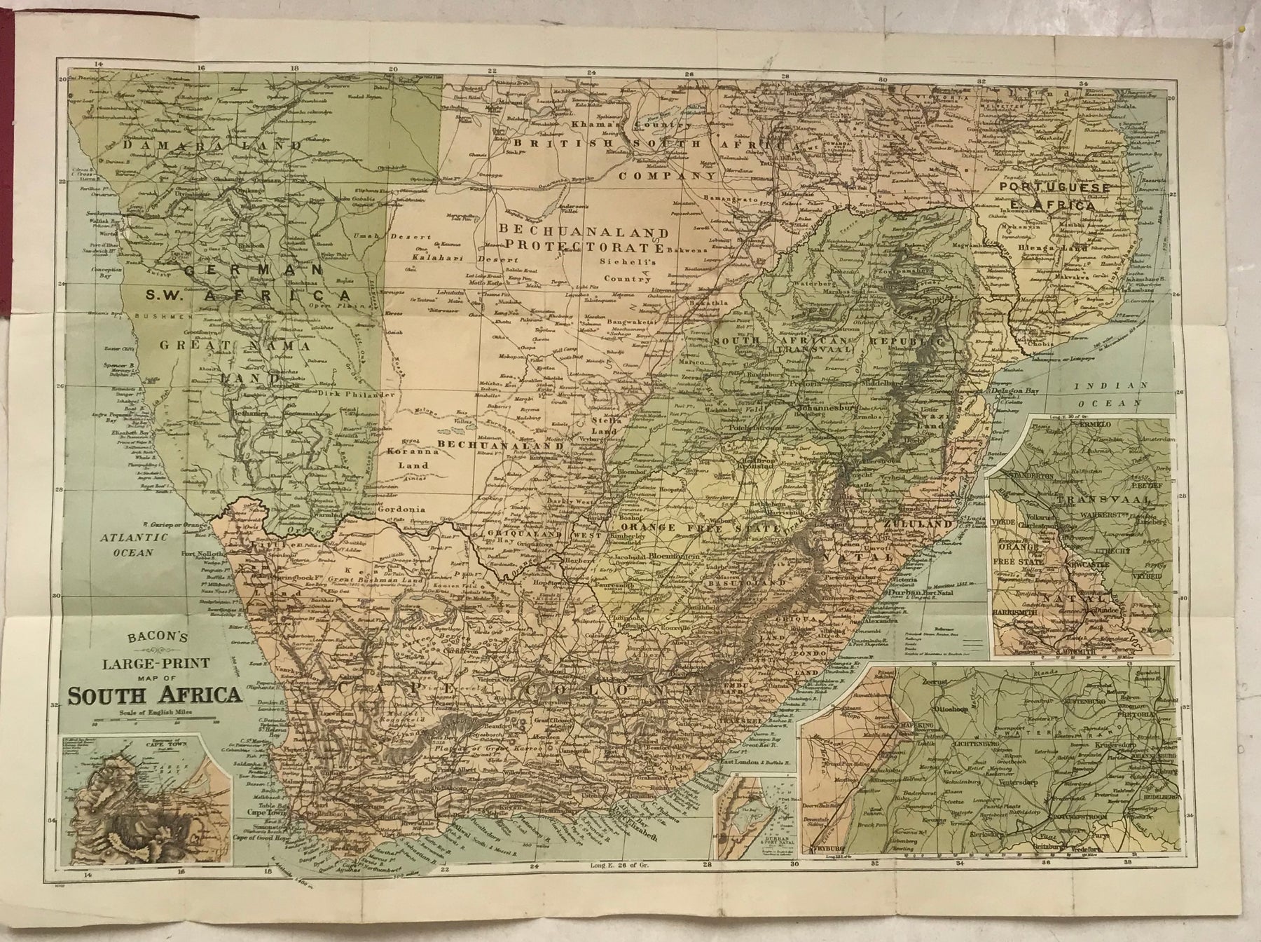
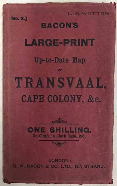
Transvaal and Cape Colony South Africa antique map. Published in London by G. W. Bacon & Co. c.1899. Colour printed map in paper wraps, folded as issued, unfolds to approx. 24 x 22 inches. Inset left: “Environs of Cape Town”; Insets right: “Durban & Port Natal”, “Transvaal, Orange Free State and Natal”, ” inset map bottom right shows the border area between Bechuanaland and Transvaal (including Mafeking.) Bordering states include: German S.W. Africa, Bechuanaland and Portuguese E. Africa. Small conservation tape repair to folds at rear (not visible from front.) A nice item from the Boer War period