

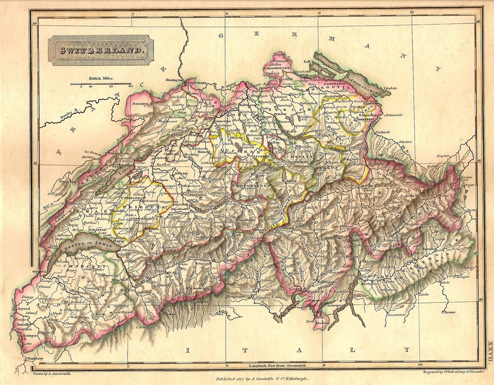
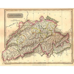
Switzerland antique map from “A New General Atlas Constructed by A. Arrowsmith, Hydrographer to the King. Exhibiting the Boundries and Divisions, also the Chains of Mountains and other Geographical Features of all the Known Countries in the World.” Published 1829 (dated 1817 in the plate). Approx. size of engraved area 10x8ins.