Glamorganshire Wales parliamentary boundaries antique map 1835

Glamorganshire Wales parliamentary boundaries antique map 1835

Regular price£40.00
/
Tax included. Shipping calculated at checkout.

  • In stock, ready to ship
  • Inventory on the way

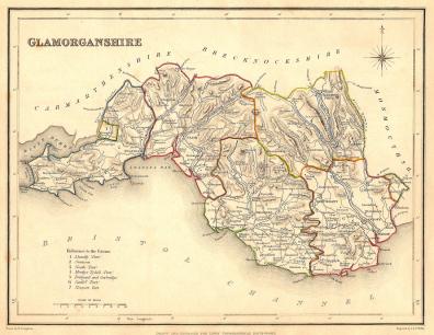
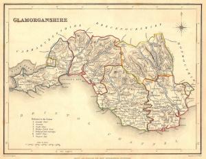
Glamorganshire Wales antique map from Samuel Lewis’s Topographical Dictionary of England, published 1835. Original outline colour. Samuel Lewis (c.1782 – 1865.) Engraved area approx. 9x12ins. Nice condition.

This site is protected by reCAPTCHA and the Google Privacy Policy and Terms of Service apply.